Documentation menu
Developer guides
Ola Maps Street View API
The Street View API is a powerful tool that allows developers to integrate immersive 360-degree panoramic imagery into their applications. This API provides a seamless way to visualize real-world locations directly within your platform, enriching the user experience with detailed, interactive street-level views. By leveraging the Street View API, businesses and developers can create engaging, context-rich applications for navigation, exploration, and enhanced user interaction.
Why Use the Street View API?
- Enhanced Visual Context: Offers 360° panoramic views, allowing users to explore locations as if they were physically there. Users can move along streets, rotate views, and zoom in for details, making maps more engaging and intuitive.
- Improved Decision-Making: Applications like real estate, tourism, and logistics can benefit from street-level visuals to help users make informed decisions. Users can explore areas visually before making travel, accommodation, or purchase decisions.
- Seamless Integration: The API supports easy integration with maps and other geospatial tools, enabling a cohesive and interactive experience. Highlights landmarks, businesses, and attractions with visual confirmation.
- Competitive Advantage: Using the Street View API sets your application apart by offering advanced visualization capabilities, improving user satisfaction, and staying ahead in the competitive landscape of digital solutions.
The street view coverage area that can be accessed through the folllowing API's is roughly around 9,895 KM in and around Bengaluru.
Sample Request to street view coverage:
Returns a line string consisting of all available street view images present inside the provided input bounding box.Sample Request to fetch imageId:
Returns the ImageId of the computed nearest street view image for a given latitude and longitude and optional radius(in meters).Sample Request to fetch metadata:
Returns the metadata of the provided input Image Id. Metadata includes the latitude and longitude of the image, bearing, imageUrl and its respective links to its neighbouring images.Please refer to theAPI documentationfor further details.
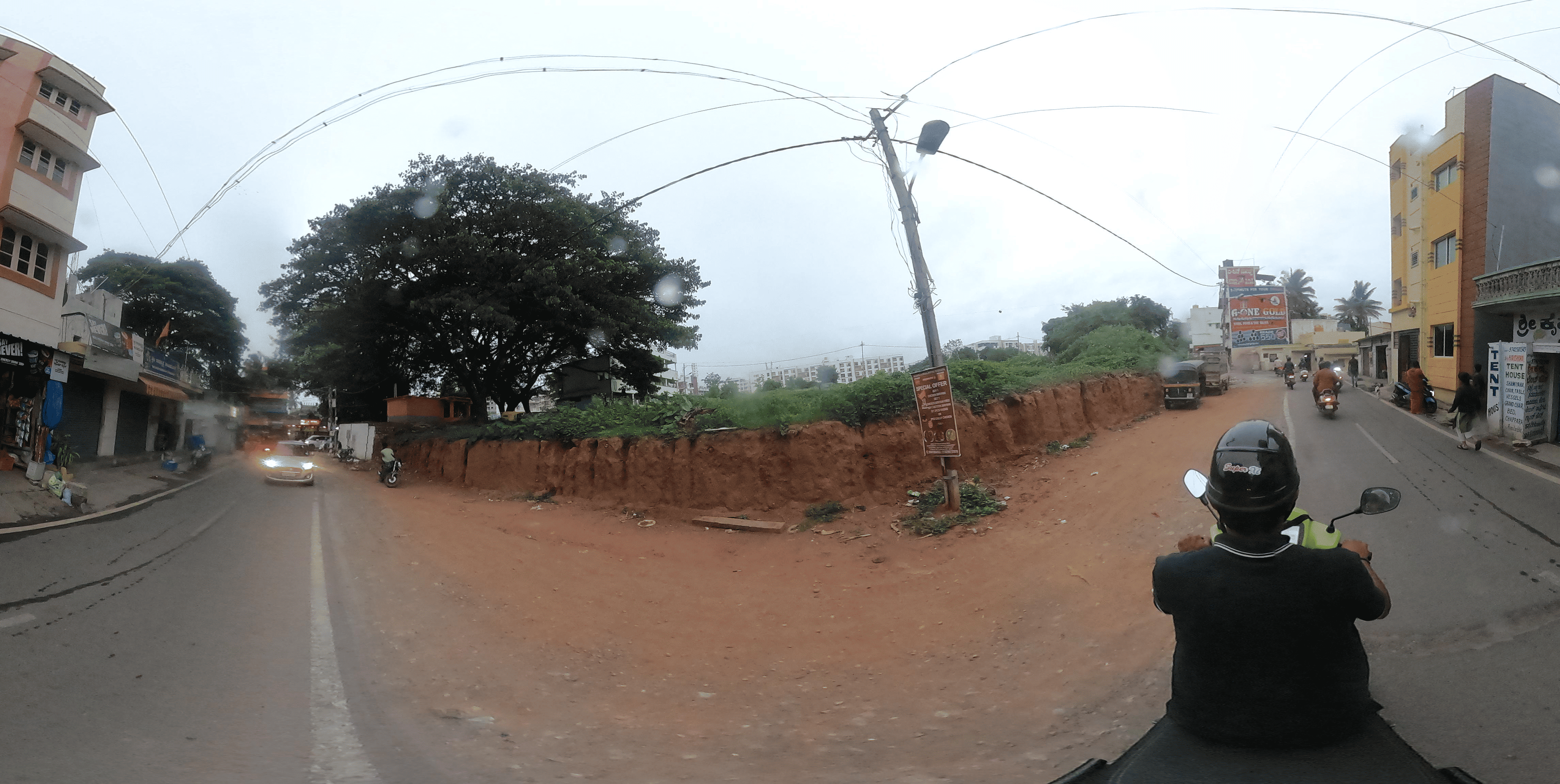
Below is a sample Street View panoramic image that can be accessed using the Metadata API: