Documentation menu
Developer guides
Ola Maps 2D Map Tiles
What are 2D Map Tiles?
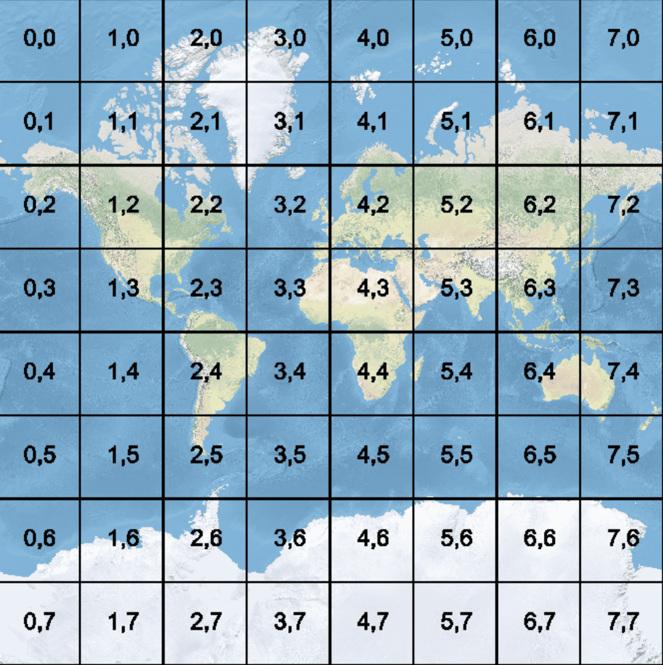
2D Map tiles in the context of mapping refer to small, square images or data units that are part of a larger map. These tiles are used to display maps efficiently, allowing only the necessary parts of the map to be loaded and viewed at any given time. The concept of map tiles enables smooth and scalable map rendering, especially on the web or in mobile applications. The map you see is composed of multiple tiles that are stitched together to form the complete map. As you zoom in or pan, using our map tiles API, new tiles are loaded dynamically, showing more detail or shifting the view.
Types of 2D Map tiles
- Vector Tiles:A Vector tile is a lightweight format for storing geospatial vector data, optimized for rendering maps on web or mobile platforms.
- Static Tiles:Static tiles refer to pre-rendered, fixed map tiles that are typically used to create map images.